
Maps and GPS (Global Positioning System) are two powerful tools that assist us in finding our way, whether we are traveling to a new place or navigating a familiar route. While traditional maps have been used for centuries, modern GPS technology offers real-time, precise navigation that has transformed how we ask for and follow directions. In this section, we will explore how both maps and GPS help us with directions and the benefits of using each tool.
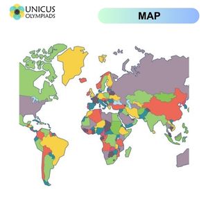
A map is a visual representation of an area that shows physical features like roads, mountains, rivers, and cities, as well as landmarks and other points of interest. Maps are typically two-dimensional, with a specific scale that allows users to estimate distances and identify the location of various places.
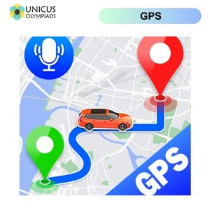
GPS (Global Positioning System) is a satellite-based navigation system that provides real-time location data and directions. GPS uses a network of satellites orbiting the Earth to triangulate your position and give precise information about where you are and where you need to go.
Both maps and GPS systems make it easier to ask for directions and provide clear guidance on how to get to your destination. Here's how each system helps:
When you are in an unfamiliar place and need to ask for directions, a map can be a valuable tool. Here's how you can use a map when asking for directions:
Asking for directions using a GPS system is even more straightforward. Here's how you can use GPS when in need of directions:
Maps and GPS systems both provide essential information that helps you follow directions and reach your destination. Here’s how each tool helps:
While maps may not offer real-time updates like GPS, they can still help you follow directions effectively. Here’s how:
GPS technology makes following directions much easier and more accurate. Here’s how GPS assists with navigation:
Both maps and GPS systems offer unique benefits depending on the situation: